Discover arctic
NORDREISA
NORDREISA
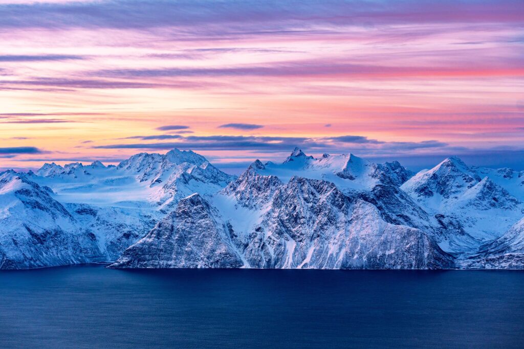
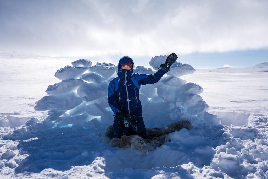
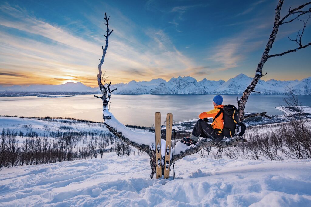
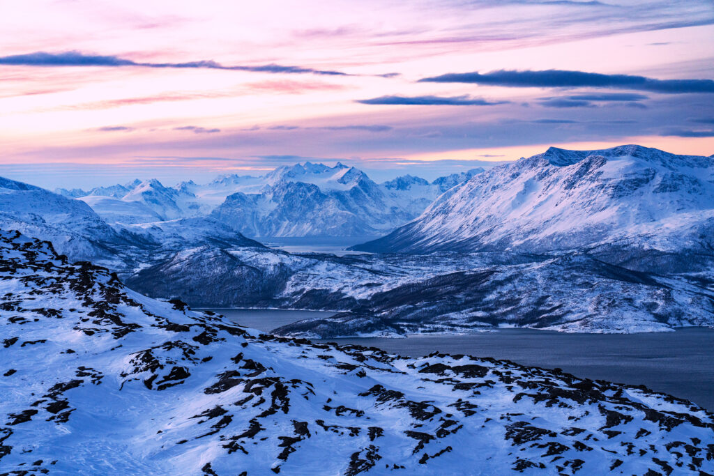
Reisa is a general name for the peculiar, harsh, and totally unique area far behind the Arctic Circle of Norway, spreading itself in the little-known Nordreisa Kommune (municipality) in the northern part of Troms County. What makes Reisa so special is its wild, untouched, and incredibly diverse nature. Reisa is a “microworld” on its own. Here, on a relatively small area, you find the most types of Norwegian landscapes.
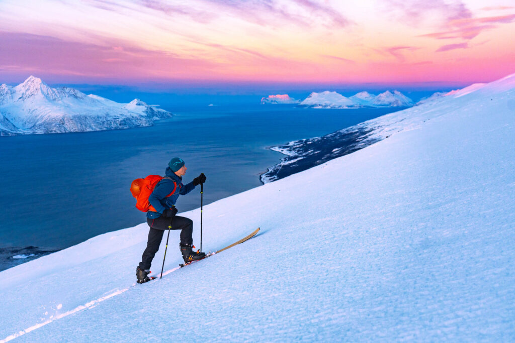
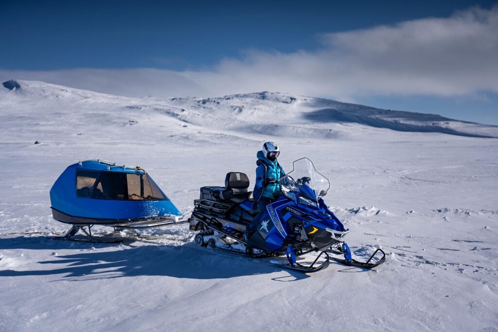
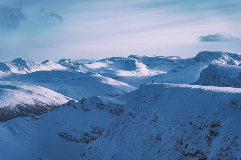
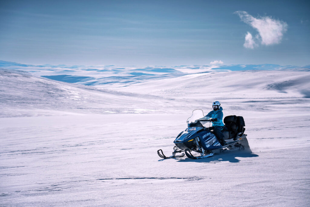
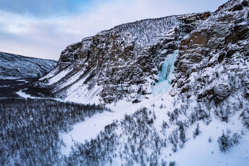
From dramatic “Lofoten-like” coastal landscapes with deep fjords and sharp, steep peaks over incredible old canyons and giant vertical rock walls with incredible couloirs to endless and relatively flat inland mountain plateaus called “vidda”—the home of the native Sámi people and their reideer herds. Simply put, Reisa has the highest concentration of different kinds of natural beauty in all of Scandinavia.
NORDREISA KOMMUNE
Population: 4,772 people
Area: 3,437.81 km² (9th biggest municipality in Norway)
Highest mountain: Ráisduottarháldi (1,361 masl)
Longest river: Reisaelva (ca 900 km)
Biggest lake: Ráisjávri 5.02 km²
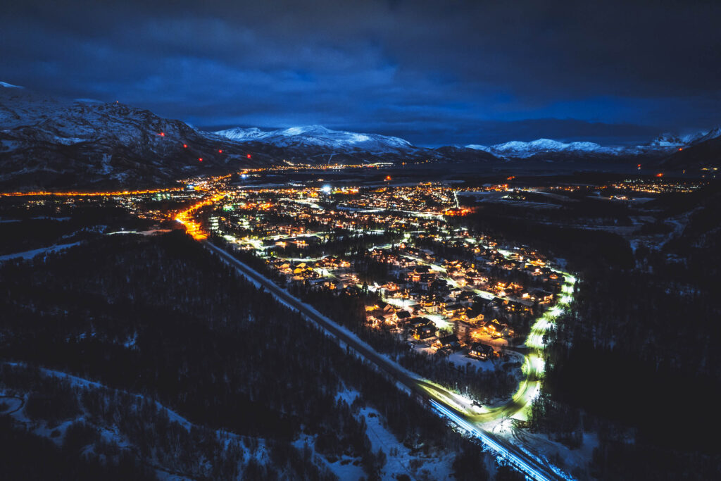
The administrative, shopping, sporting, and cultural center of the Nordreisa municipality is the village of Storslett. Other villages in Nordreisa are Oksfjordhamn, Sørkjosen, and Rotsund.
Most people live in Storslett, where the river Reisaelva meets the Reisafjorden. Sørkjosen, a village just a few km northwest of Storslett, is the location of Sørkjosen Airport, with flights to Tromsø and several destinations in Finnmark county. The famous European route E6 runs through the northern part of the municipality.
The 3,437-square-kilometer municipality is the 9th largest by area out of the 356 municipalities in Norway. Nordreisa is the 184th most populous municipality in Norway, with a population of 4,772. The municipality’s population density is 1.4 inhabitants per square kilometer, and its population has decreased by 1.6% over the previous 10-year period.
MAP OF NORDREISA
REISADALEN
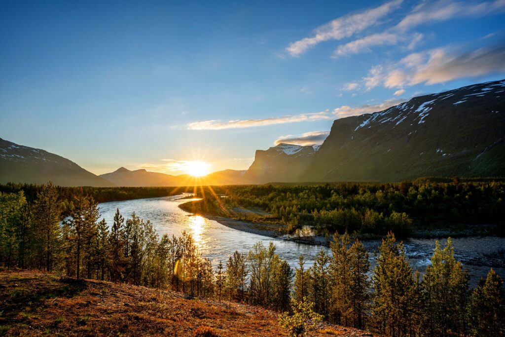
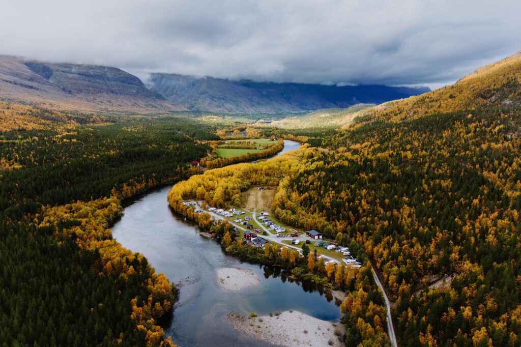
The heart of Nordreisa is a huge, long, and wild valley called Reisadalen, created by a 90-kilometer-long river named Reisaelva.
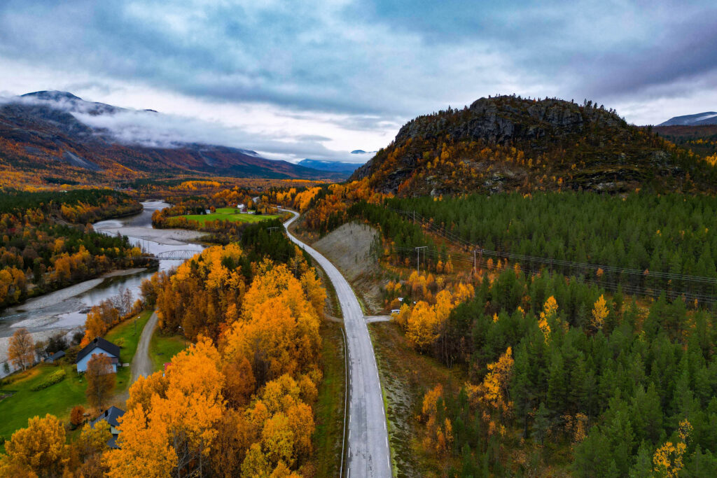
The whole Reisadalen (Reisa Valley) is one huge natural gem with so many totally different landscapes in just one valley. Just the drive from the main E6 road towards the end of the road in Saraelv is a spectacular experience in and of itself.
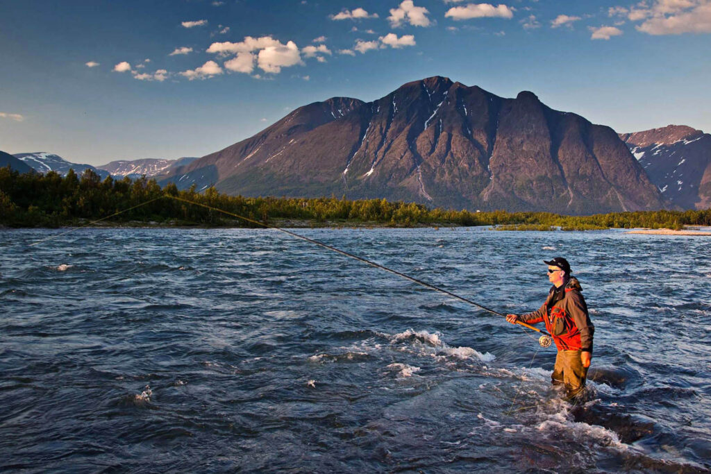
In Reisadalen, you will be amazed by totally giant rock walls, incredibly picturesque river views, many waterfalls, truly impressive side canyons of Reisadalen, cozy local farms, old open cabins, many lakes, perfect hiking, biking, or trail-running trails, untouched pine and birch forest, mind-blowing viewpoints, and rich wildlife.
The breathtaking upper part of Reisa Valley has been a highly protected area – learn more about Reisa National Park
